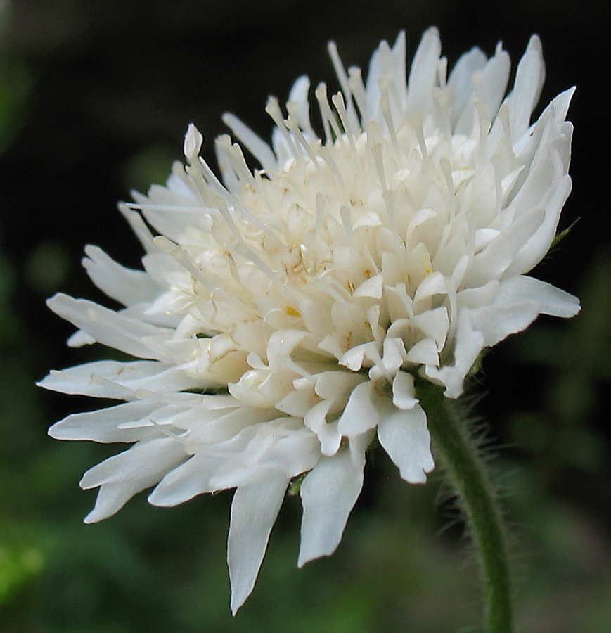
Соцветие. Башкортостан, Бурзянский р-н, берег ручья у входа в Капову пещеру. 11.08.2010.
The marker on the map does not indicate the exact coordinates of the plant or lichen.
The marker does only indicate the conditional center of the terrain ("geographic point") where the photo was taken.
Open mapSee also:
Discussion (9)
All photos of taxon (29)
Code of link to photo
| Create: | HTML or BBCode with preview or HTML or BBCode with image compressed to a given width |
| Code for linking on the web: | |
| This is how it will look: |  Knautia tatarica on the site «Plantarium» |
Text to cite the page
Измайлов Э. 2010. Изображение Knautia tatarica (L.) Szabó // Плантариум. Растения и лишайники России и сопредельных стран: открытый онлайн атлас и определитель растений. [Электронный ресурс] URL: https://www.plantarium.ru/page/image/id/65060.html (дата обращения: 12.02.2025).
Izmaylov E. 2010. Image of Knautia tatarica (L.) Szabó // Plantarium. Plants and lichens of Russia and neighboring countries: open online galleries and plant identification guide. URL: https://www.plantarium.ru/lang/en/page/image/id/65060.html (accessed on 12 Feb 2025).
Views: 2174Discussion
| Dmitry Oreshkin | По-моему, это белоцветковая Knautia arvensis.
Прилагаю доп. фото от Эльвира: |
| Андрей Любченко | 65061_6f876099.jpg - лстья очень непохожие на те, которые у растений в таксоне Knautia arvensis |
| Vladislav Grigorenko | А может это Knautia tatarica (она по природе белоцветковая)? |
| Андрей Любченко | |
| Vadim Prokhorov | Knautia tatarica |
| Aleksandr Ebel | Что, прямо в ручье растёт? |
| Elvir Izmaylov | |
| Aleksandr Ebel | Тогда имеет смысл немного поправить подпись к фото. |
| Vladislav Grigorenko | Типа "у входа в Капову пещеру" - её то все знают |

