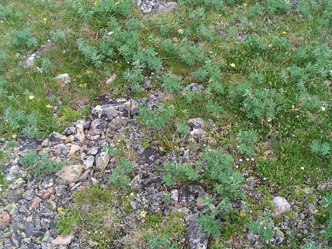
Участок альпийского луга с пятнами щебня с высоким обилием термопсиса. Горный Алтай, массив Сарлык. 12.07.2007.
Gleb Kamalutdinov © 2011
The marker on the map does not indicate the exact coordinates of the plant or lichen.
The marker does only indicate the conditional center of the terrain ("geographic point") where the photo was taken.
Open mapSee also:
Discussion (5)
All photos of taxon (30)
Code of link to photo
Create: | HTML or BBCode with preview or HTML or BBCode with image compressed to a given width |
Code for linking on the web: | |
This is how it will look: | Thermopsis alpina on the site «Plantarium» |
Text to cite the page
Камалутдинов Г.В. 2011. Изображение Thermopsis alpina (Pall.) Ledeb. // Плантариум. Растения и лишайники России и сопредельных стран: открытый онлайн атлас и определитель растений. [Электронный ресурс] URL: https://www.plantarium.ru/page/image/id/78806.html (дата обращения: 20.12.2024).
Kamalutdinov G. 2011. Image of Thermopsis alpina (Pall.) Ledeb. // Plantarium. Plants and lichens of Russia and neighboring countries: open online galleries and plant identification guide. URL: https://www.plantarium.ru/lang/en/page/image/id/78806.html (accessed on 20 Dec 2024).
Views: 1089Discussion
Aleksandr Ebel | Неплохо бы ещё и в подписи к фото указать место съёмки. |
Gleb Kamalutdinov | А зачем географическая точка? Вопрос, а как лучше? |
Андрей Любченко | Глеб Камалутдинов wrote:
http://www.plantarium.ru/page/help/service/pictures.htmlа как лучше? |
Gleb Kamalutdinov | Правлю. |
Dmitry Oreshkin | Глеб Камалутдинов wrote:
Точка-точкой, а указание места съёмки в подписях не отменяется. Далеко не все пойдут по ссылке смотреть, что это за "место съёмки" и что про него написано.А зачем географическая точка? |